Moriah Loop

6 days,12 summits
80 km

Mobirise Website Builder

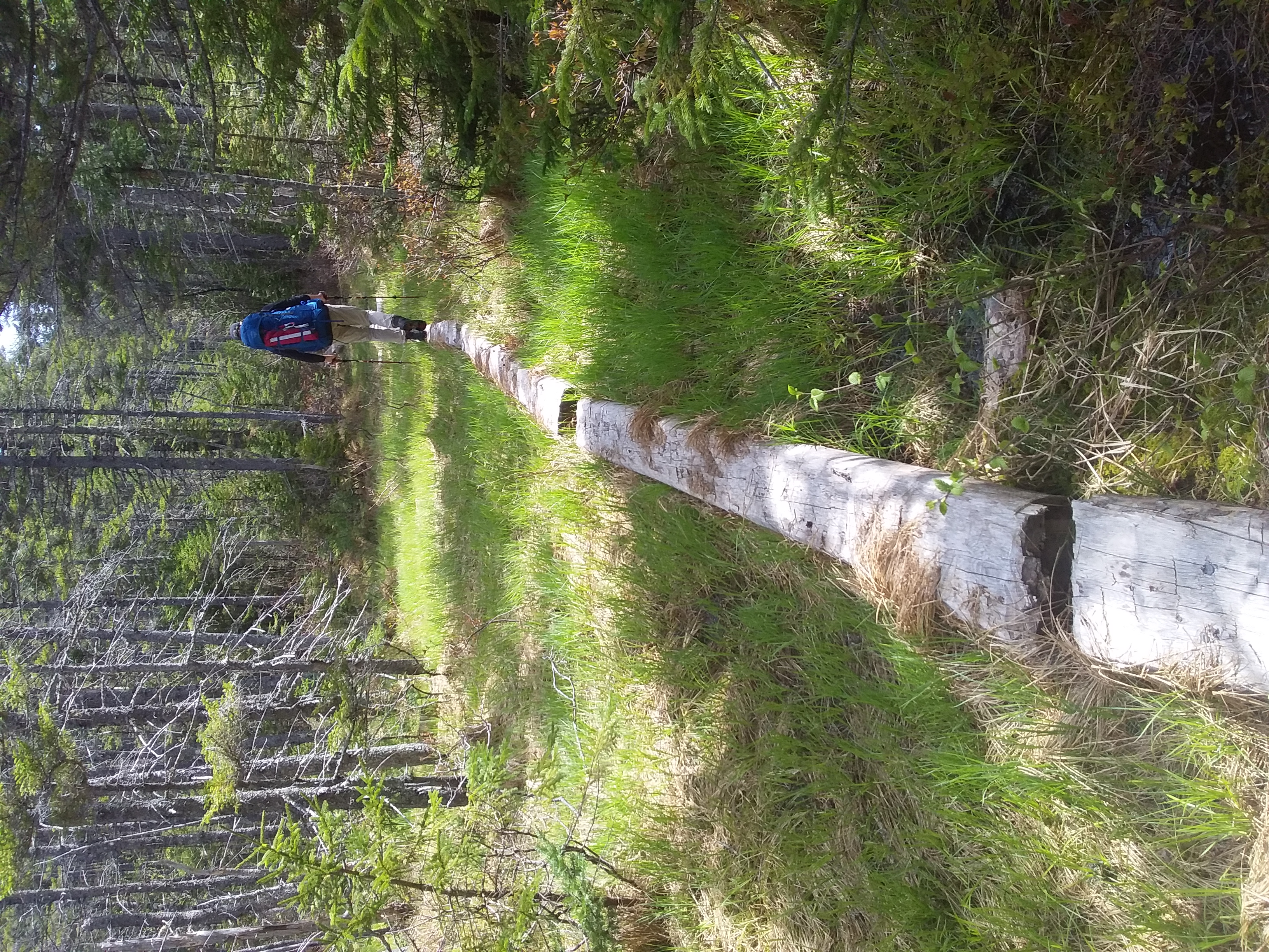
Hiking the Moriah Loop (80 km)
May 21 to 26, 2023

The Moriah Loop is located in the White Mountains, bordering New Hampshire and Maine. The hiking time listed below doesn't include stops or breaks.

Day 1: 5.1 km (hiking time: 1h50)

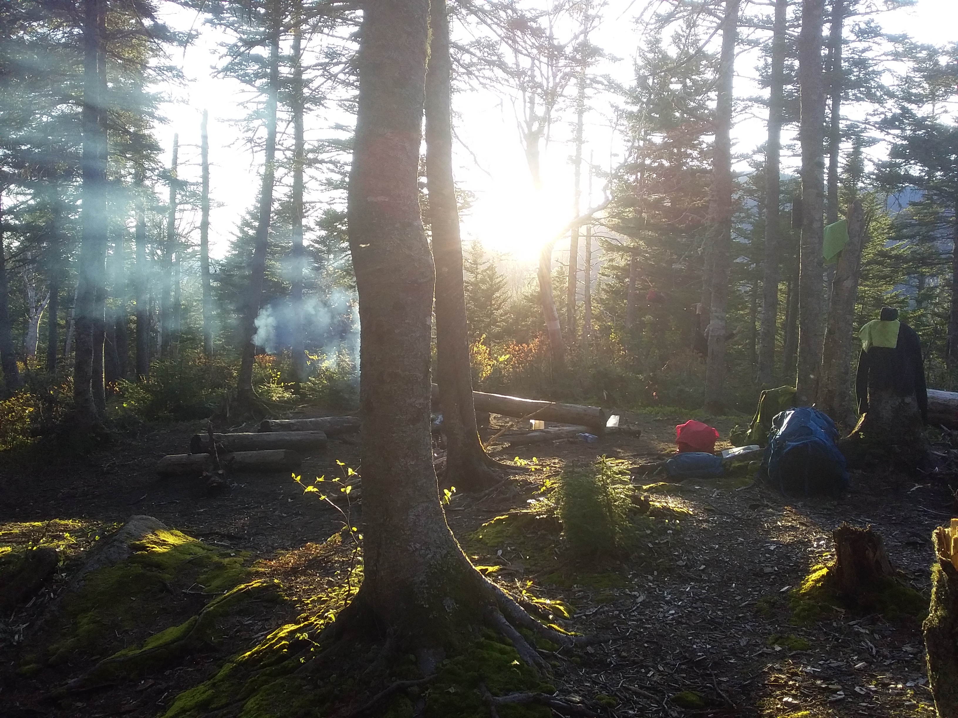
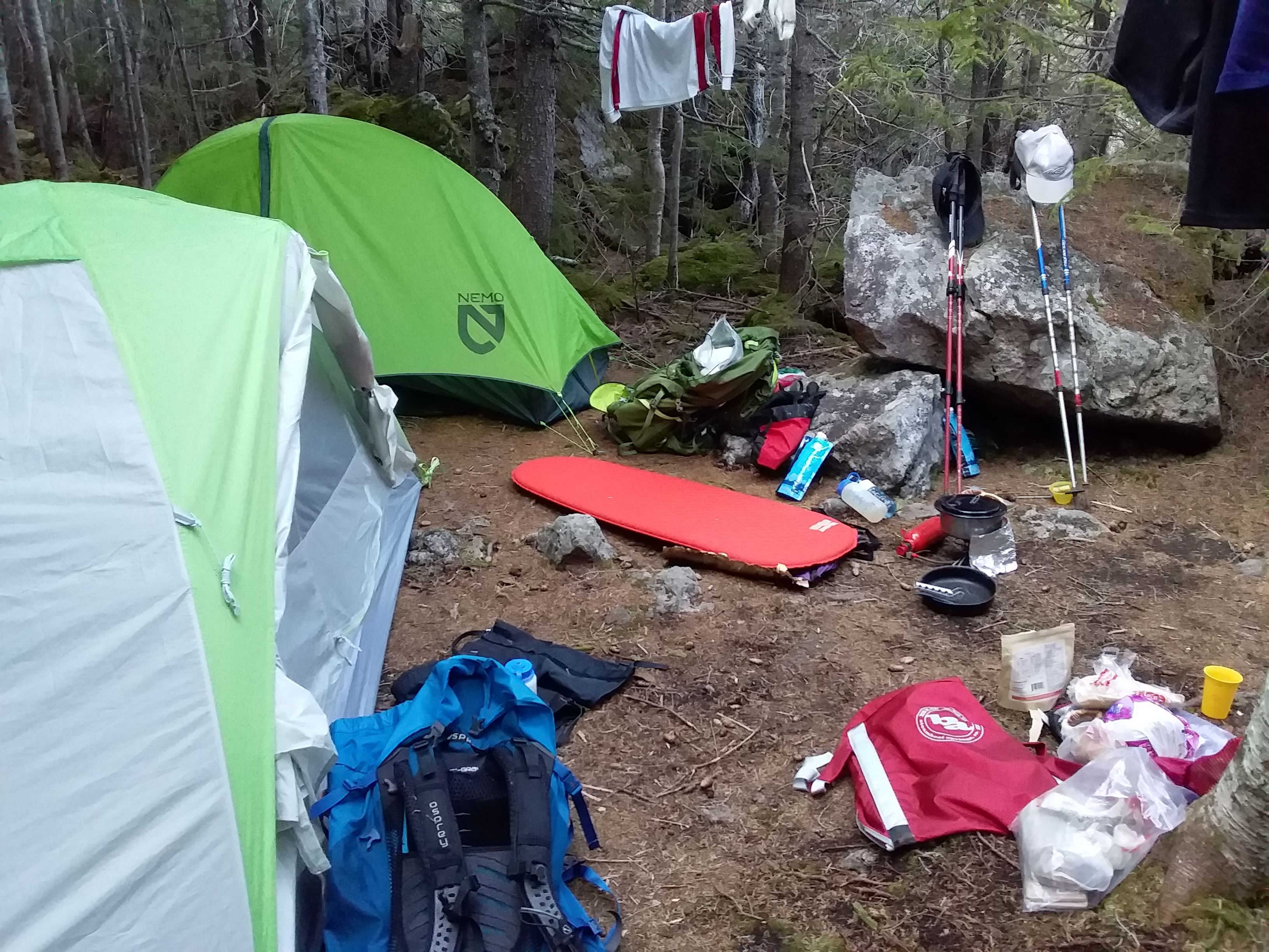
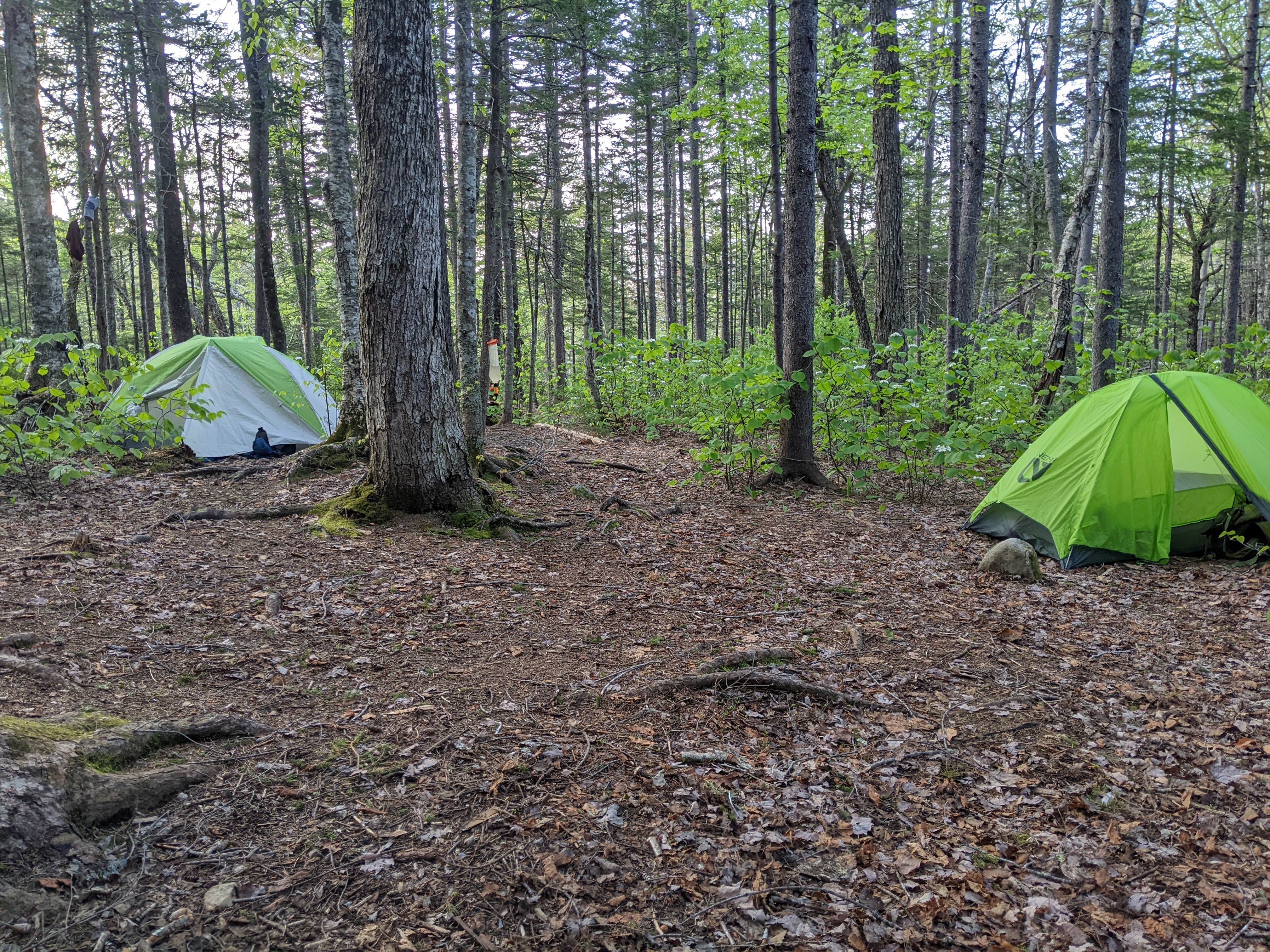
The goal was simply to begin our hike. At Baldface shelter, there was a group of high school kids, so we slept slightly away the main site onto a rock with amazing views over the mountains. We carried a little wine to celebrate our first night out !

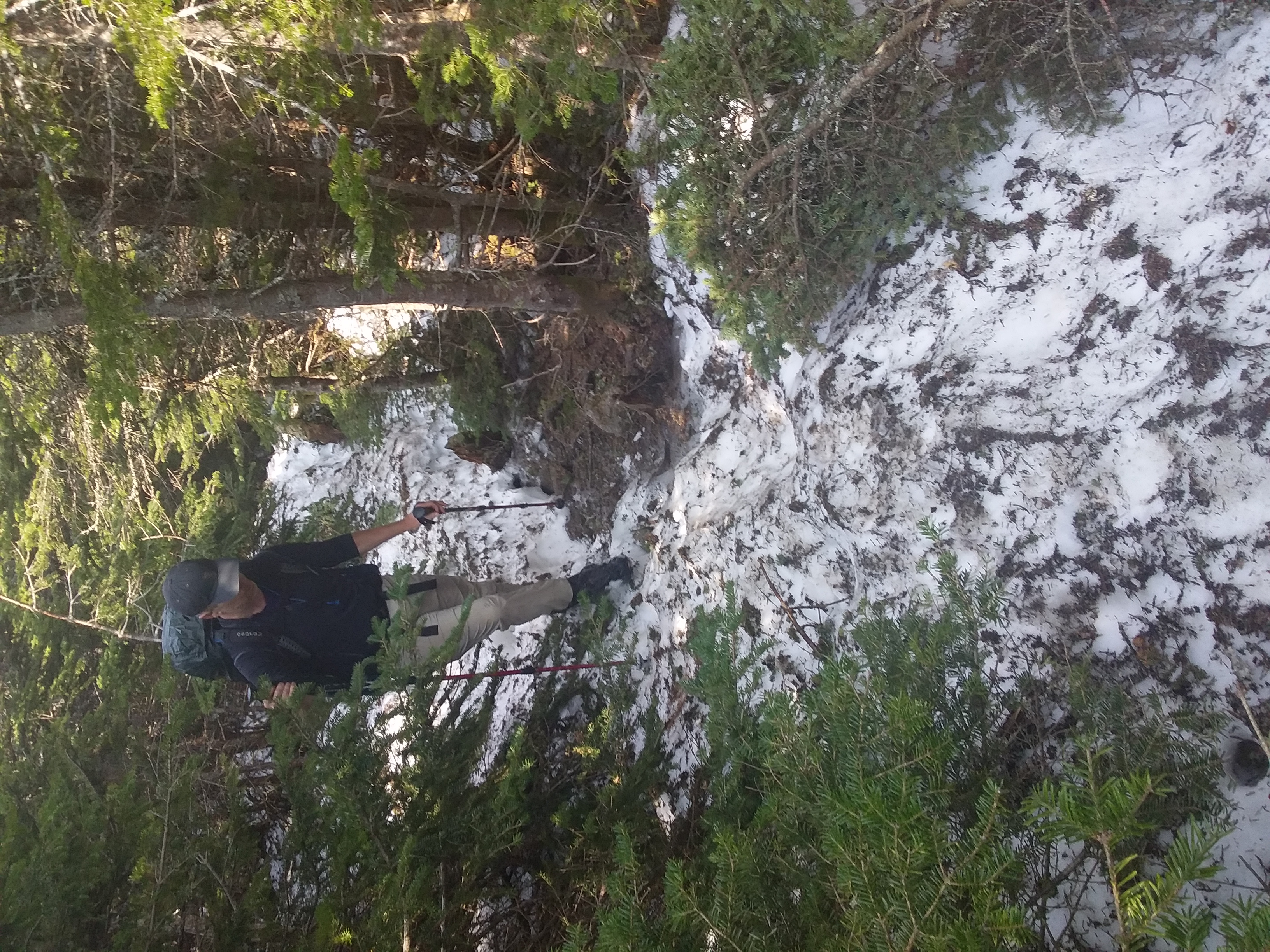
Day 2: 14.1 km (hiking time: 5h55)
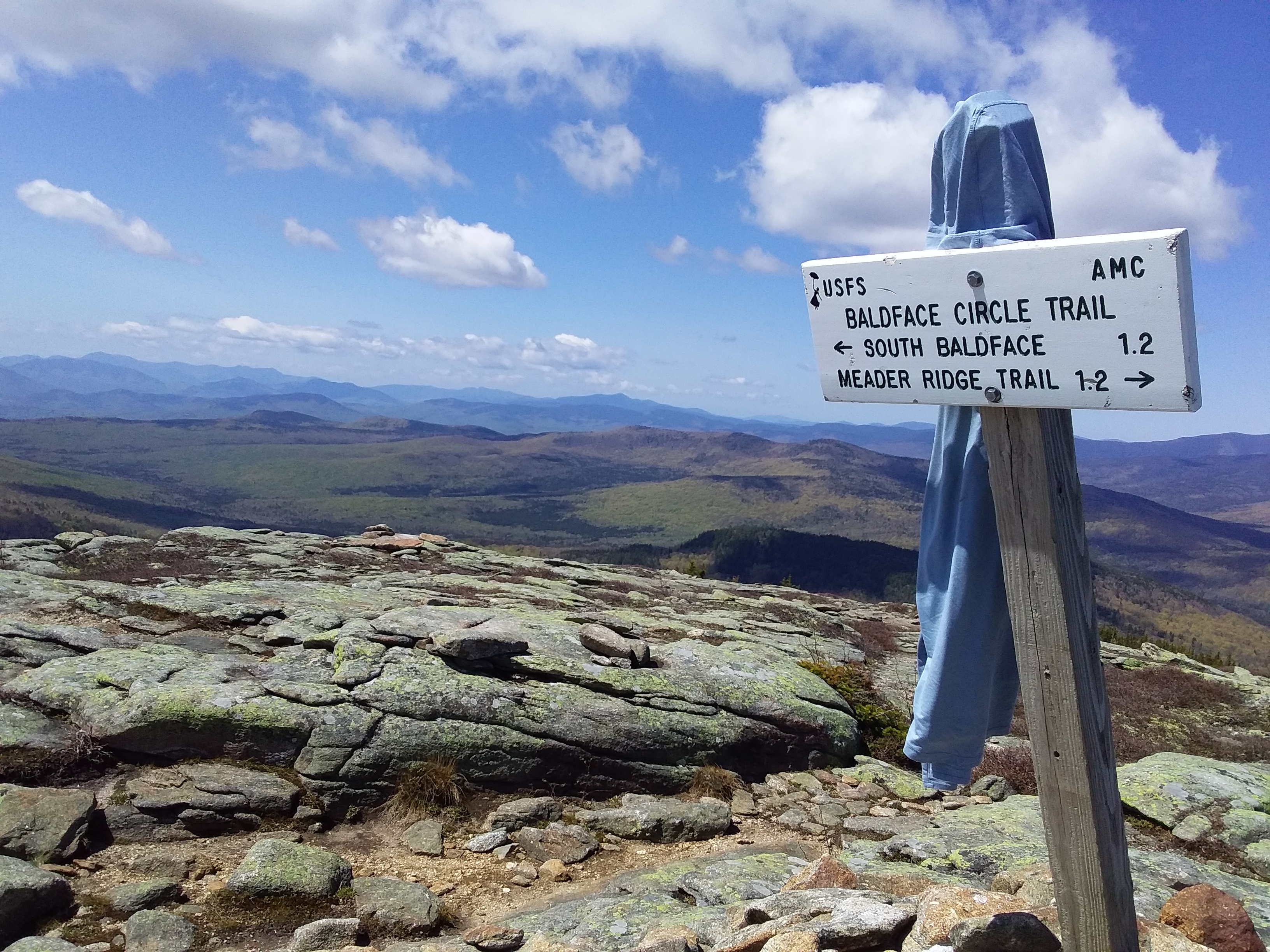
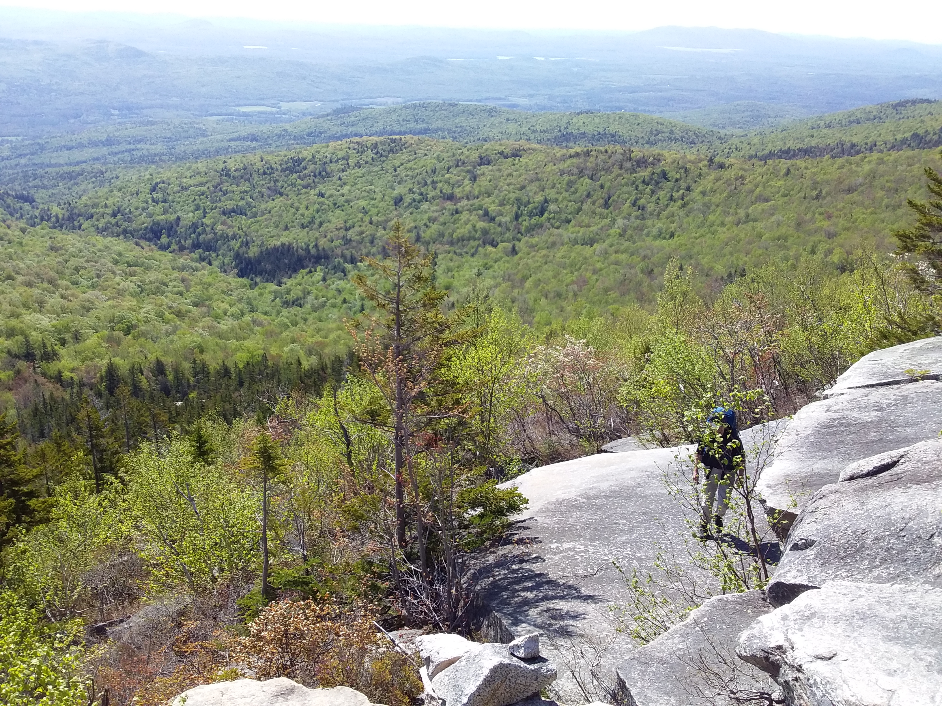
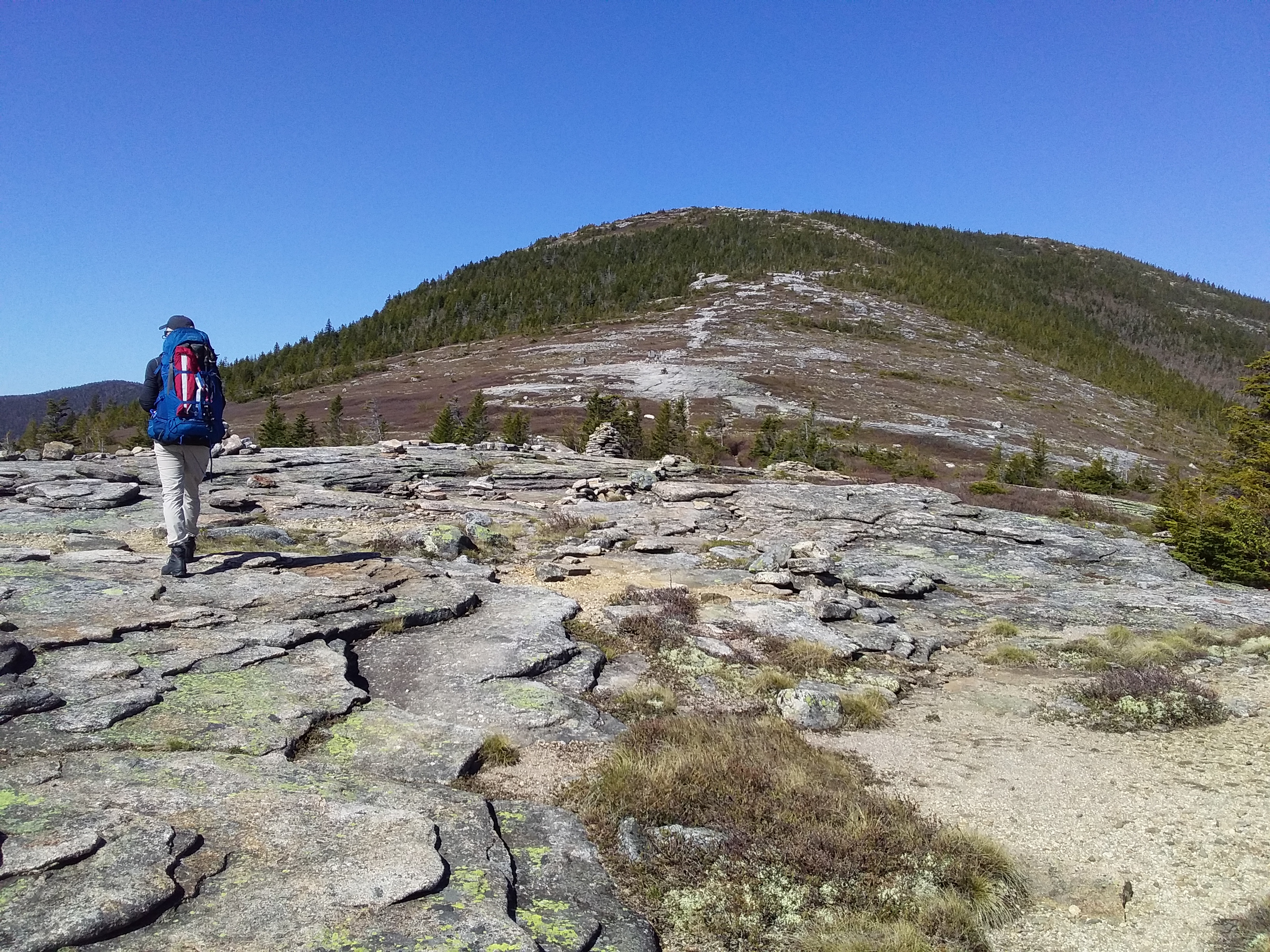
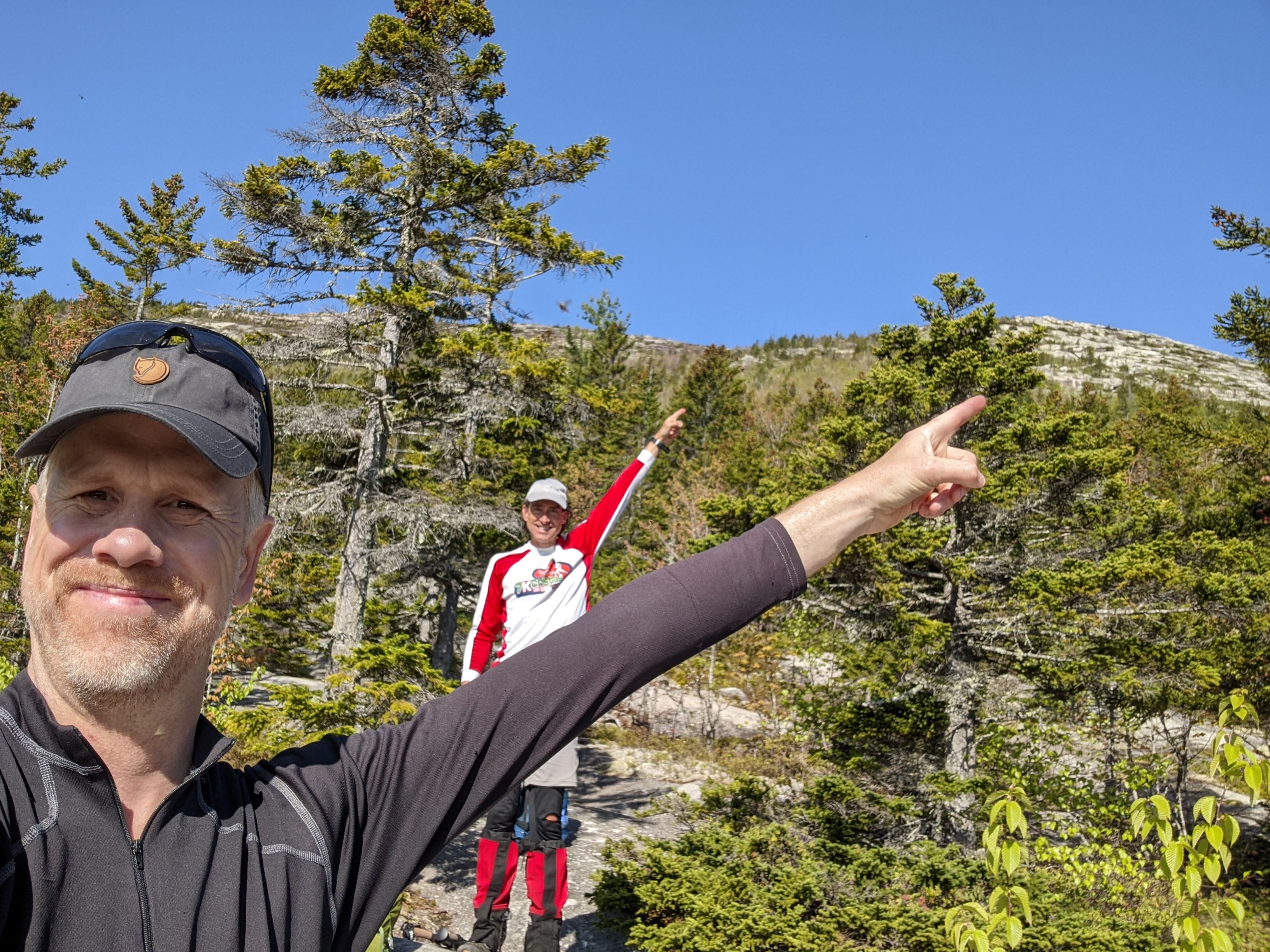
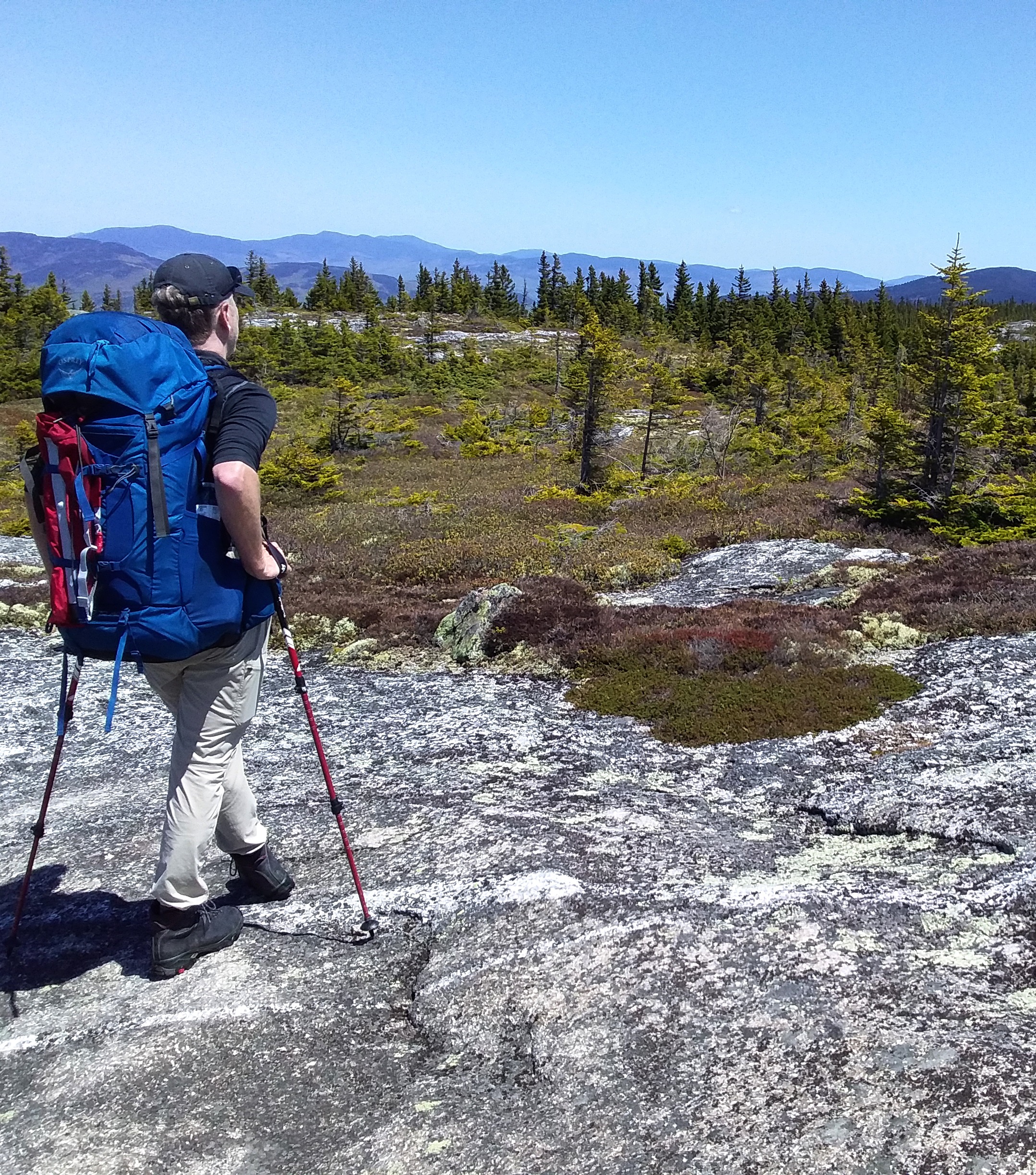
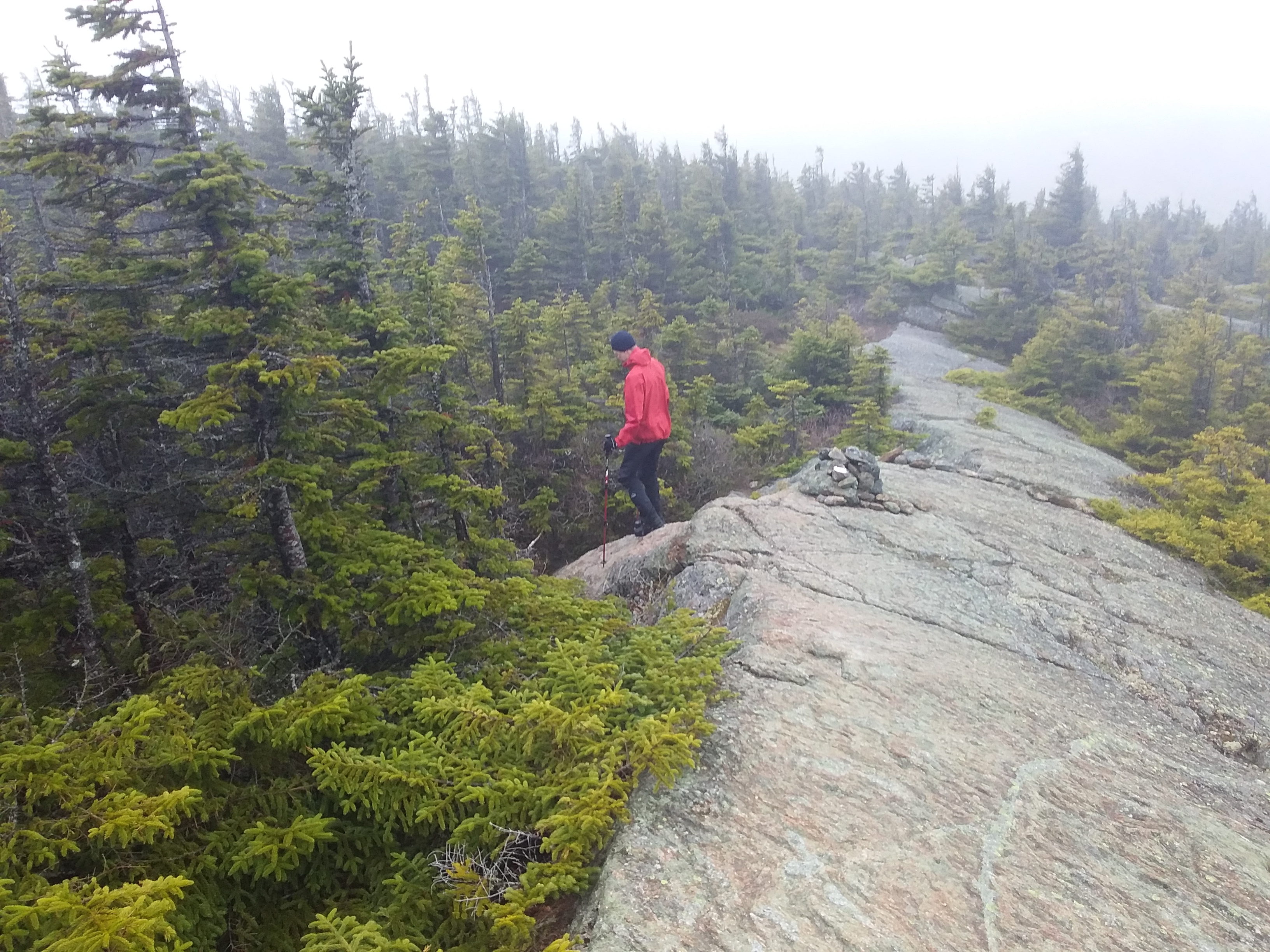
The day immediately begins with a serious climb. The climb to South Baldface is steep, but spectacular. The views get better every step we take. The few blackflies we had yesterday are gone.
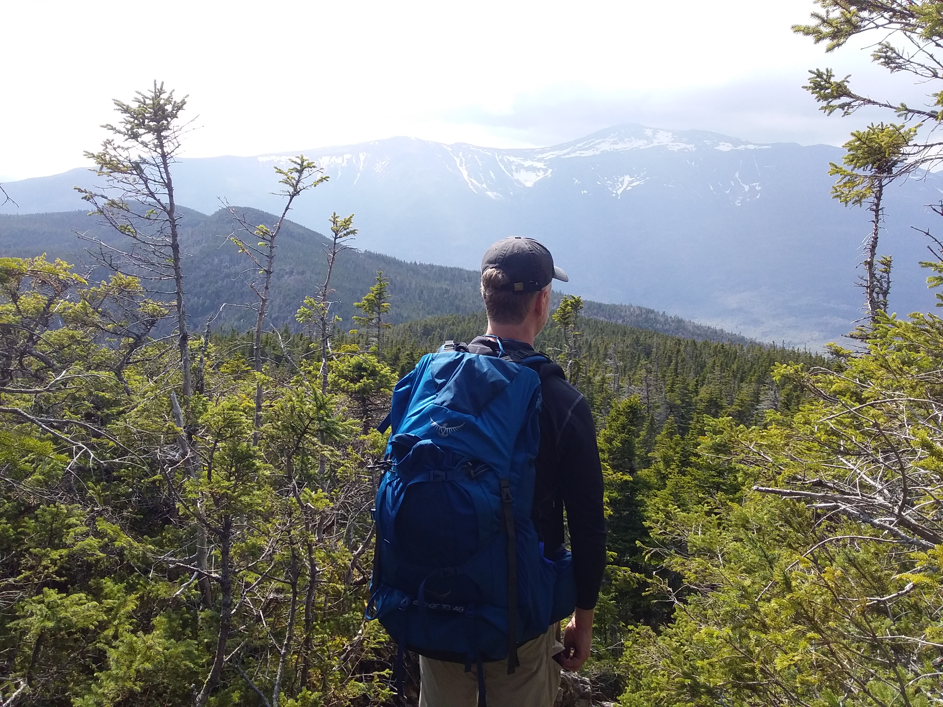
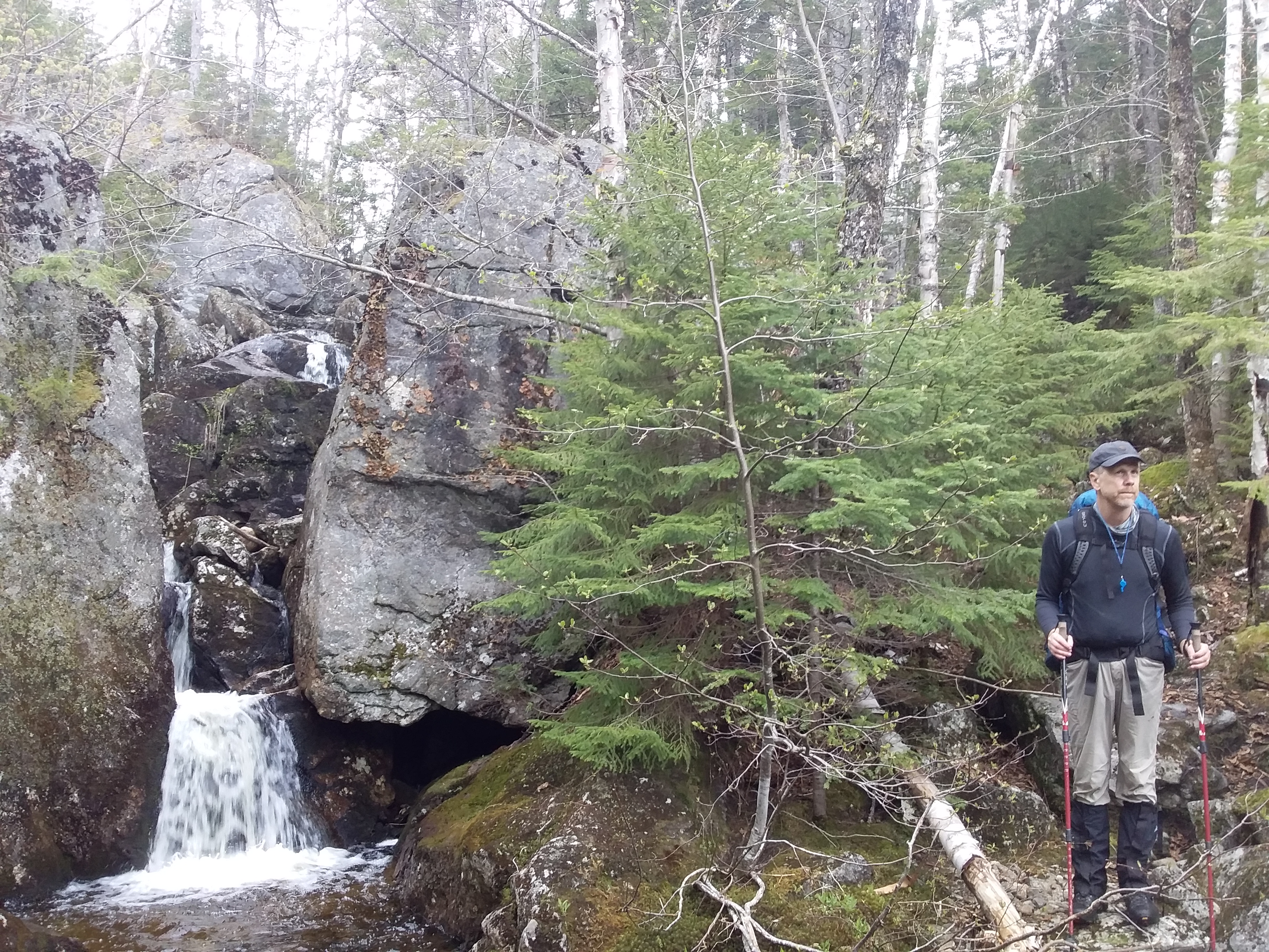
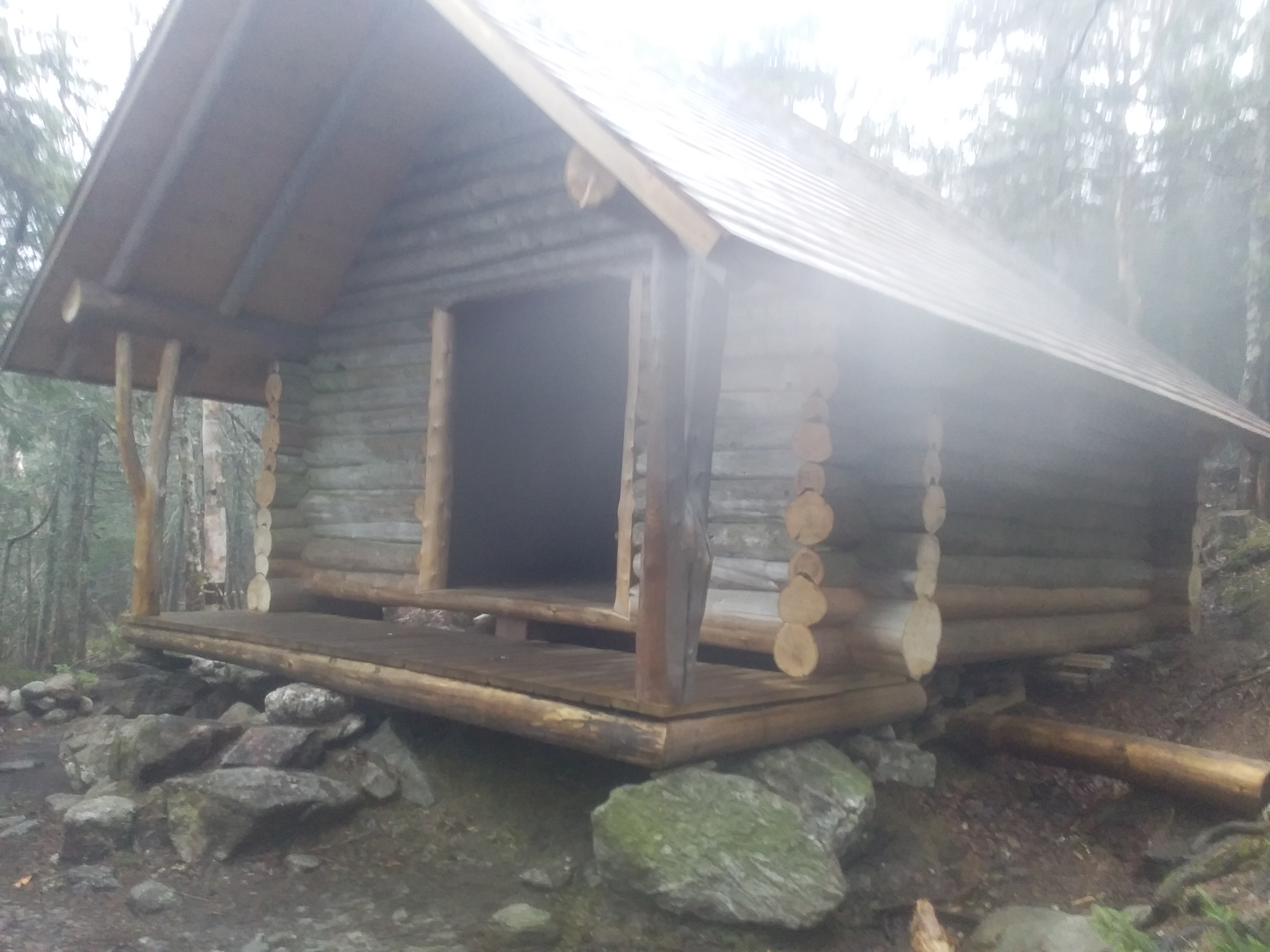
The first 2.5 hours of our day is spent above treeline. Amazing views over Mount Washington and the presidential range. We sleep at Perkin Notch Tent Site down the valley.
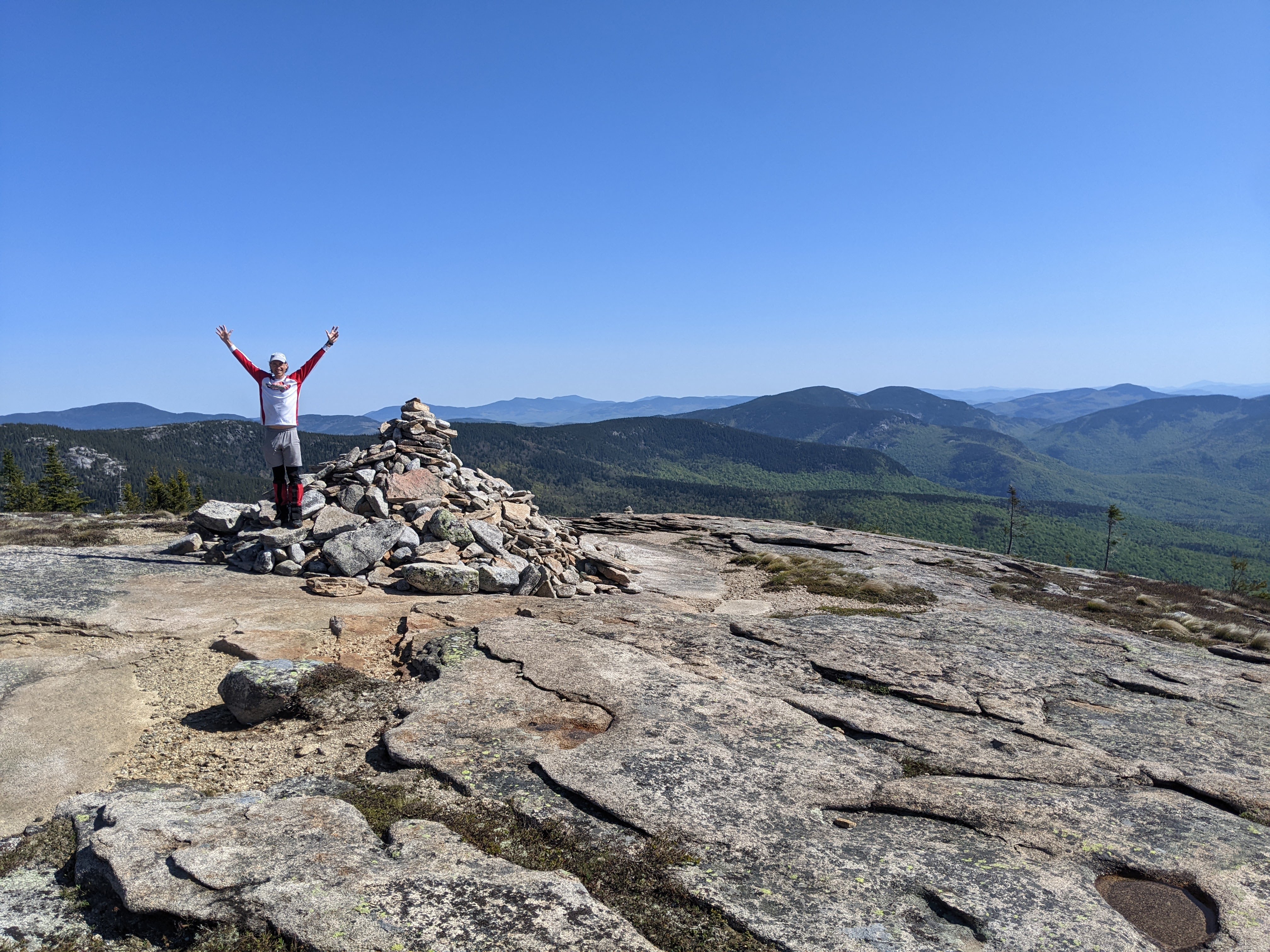
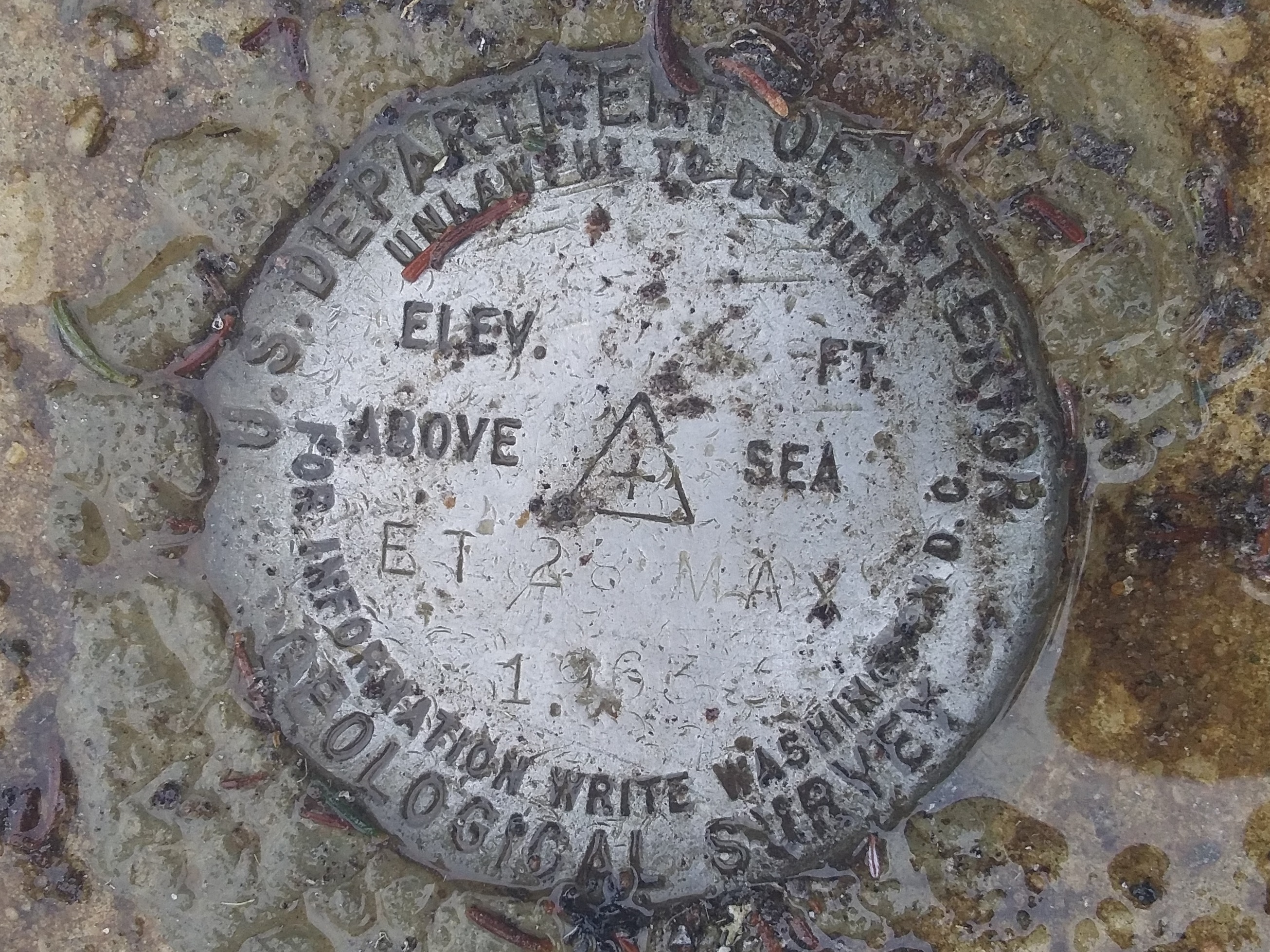
Summit #1: South Baldface
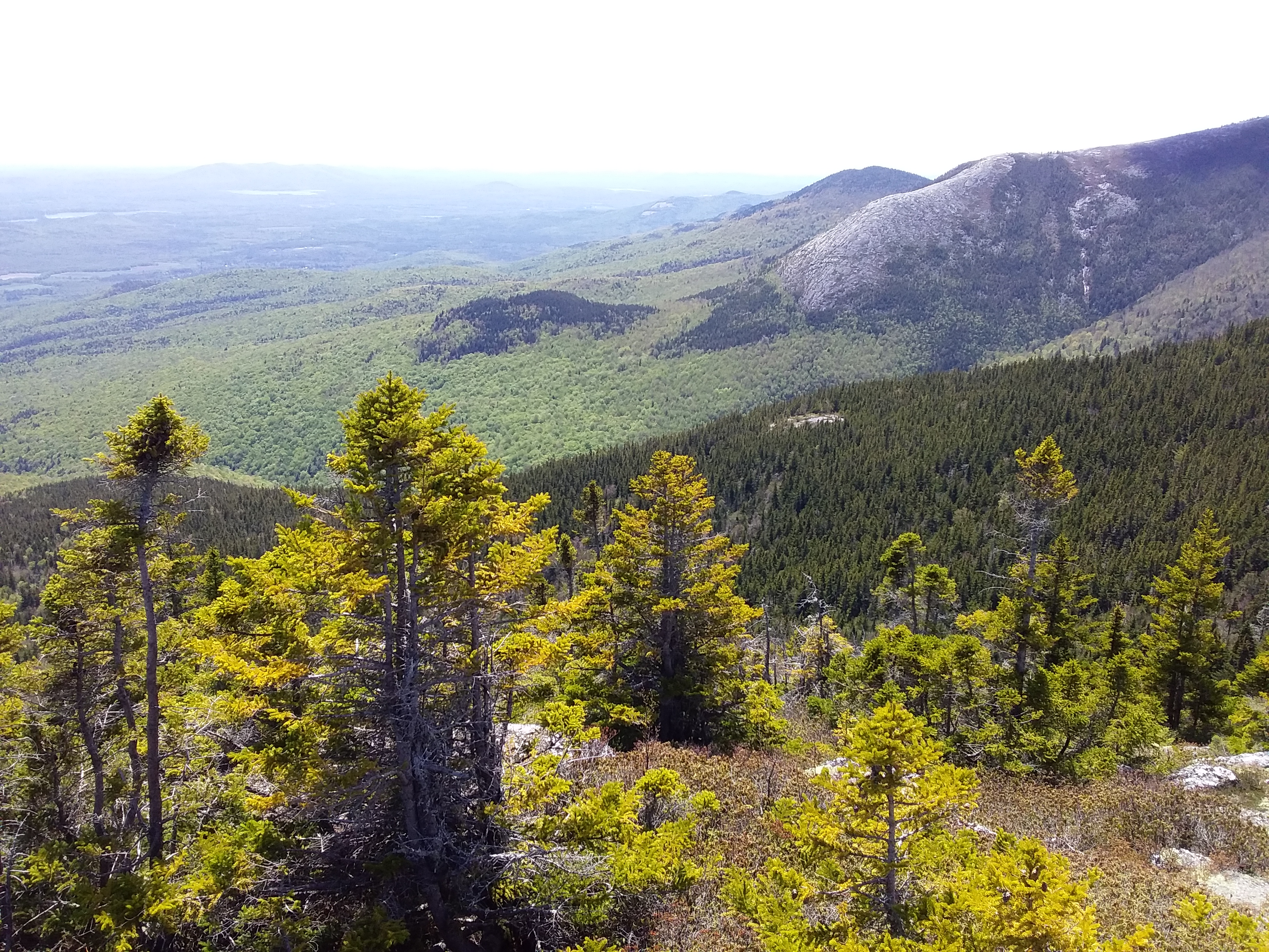
Summit #2: North baldface
Summit #3: Eagle Crag

Mobirise Website Builder

Day 3: 14.4 km (hiking time: 6h05)
We hike to Carter Notch Hut and find a beautiful wild camping site approximately 300 meters below. Amazing views over Carter Dome. With our daypacks, we hike the Wildcat range. Lot's of snow as we get above 4000 feet.
Summit #4: Wildcat A
Summit #5: Wildcat B
Summit #6: Wildcat C

Day 4: 12.1 km  (hiking time: 6h10)
The warmup is short and the climb towards Carter Dome is strenuous. Clouds are coming in, but we get good views on the way up. At the summit of Carter Dome, there is at least 2 m of snow remaining. The best views of the day are from Mount Hight. Our progress is slow: snowshoes wouldn't really help, crampons are useless. The rain/snow/sleet begins at around 1pm and the cold wind blows. I am completely drenched and in order to stay warm, I run to Imp. Shelter. The only 3 sided shelter of our hike: thank you!

Summit #7: Carter Dome
Summit #8: Mount Hight (best view!)
Summit #9: South Carter Mountain
Summit #10: Middle Carter
Summit #11: North Carter

Mobirise Website Builder

Day 5: 19.8 km (hiking time: 7h10)
The morning is cold and wet. The temperature is slightly above the freezing point, but the shelter is high in altitude and with the wind, it is a challenge to stay warm. We begin our day by hiking to Moriah Summit, and then back into the valley to Wild River campground.  The trail is difficult to follow and crosses several rivers.  At the end of the day, the bridge crossing Wild River has been 
Summit #12: Mount Moriah

Day 6: 13.9 km (hiking time: 5h10)
We momentarily get lost by walking on the wrong trail, not far from Rim Junction.  We hike to Mount Meader and back to Eagle Crag (summit done on day #2).  Walking down into the valley, we can feel the warmth and notice that trees have much more leaves than those seen in the past week.  Back at the parking lot, we celebrate the end of this hike and a tick is sucking my blood in the middle of my back! A superb

Itinerary Moriah Loop

Created by Ian Wikarski, June 2023